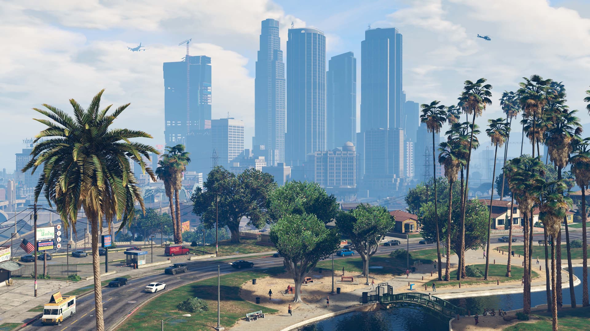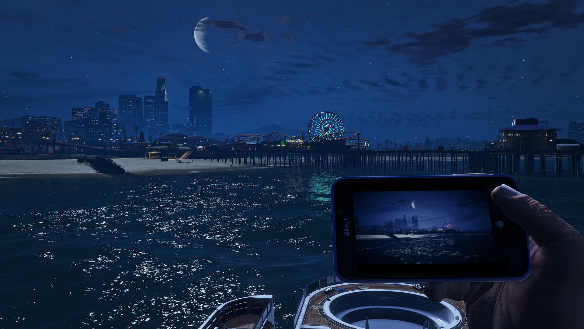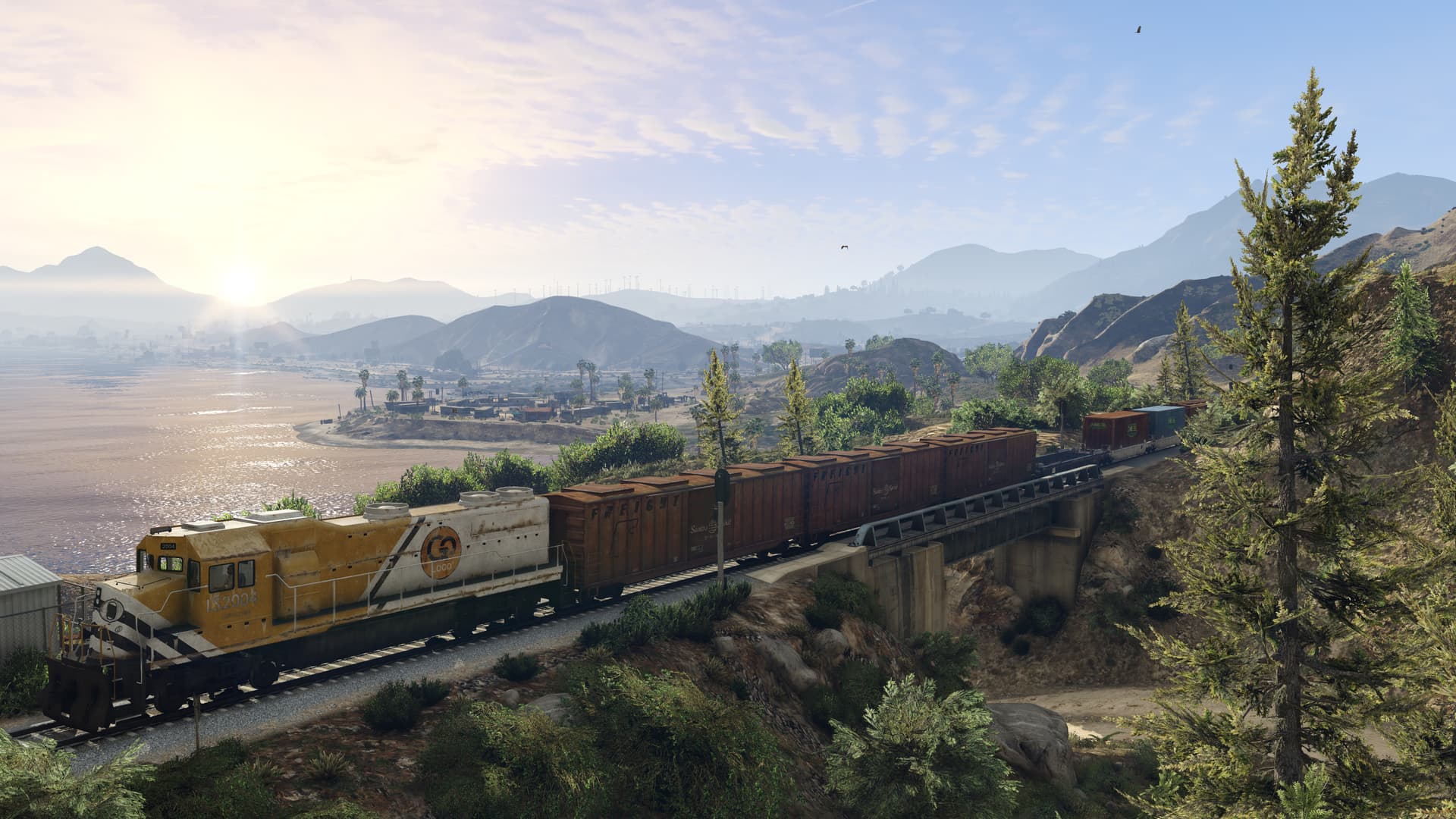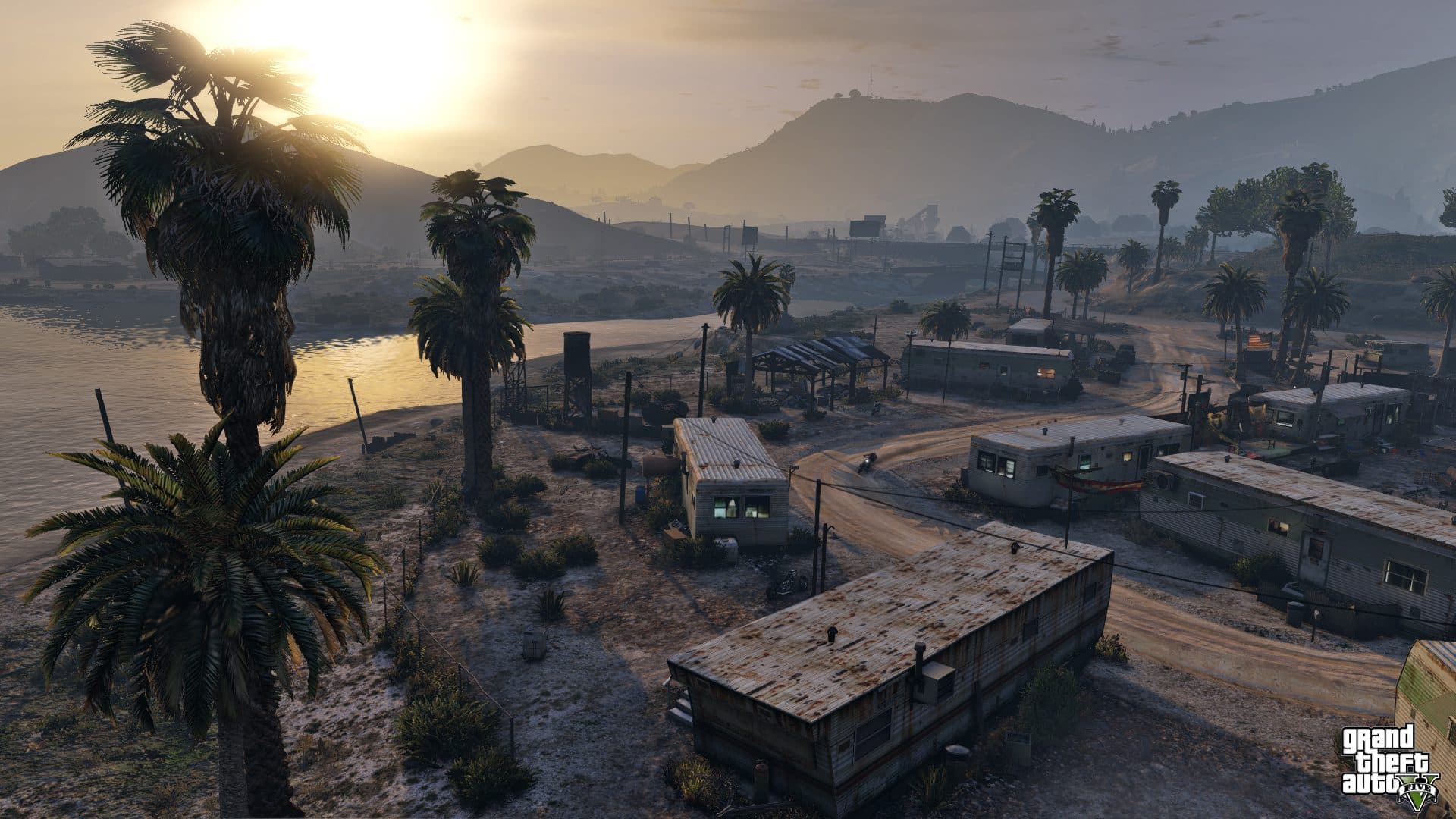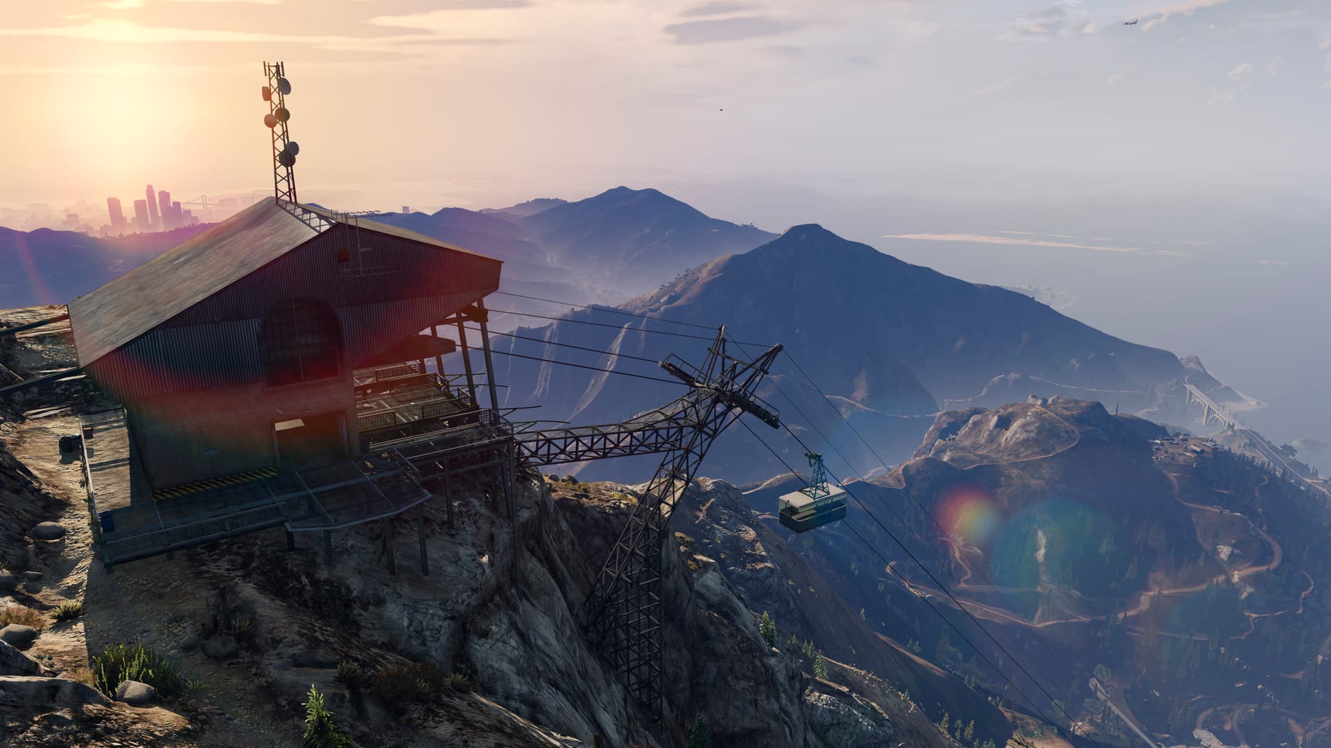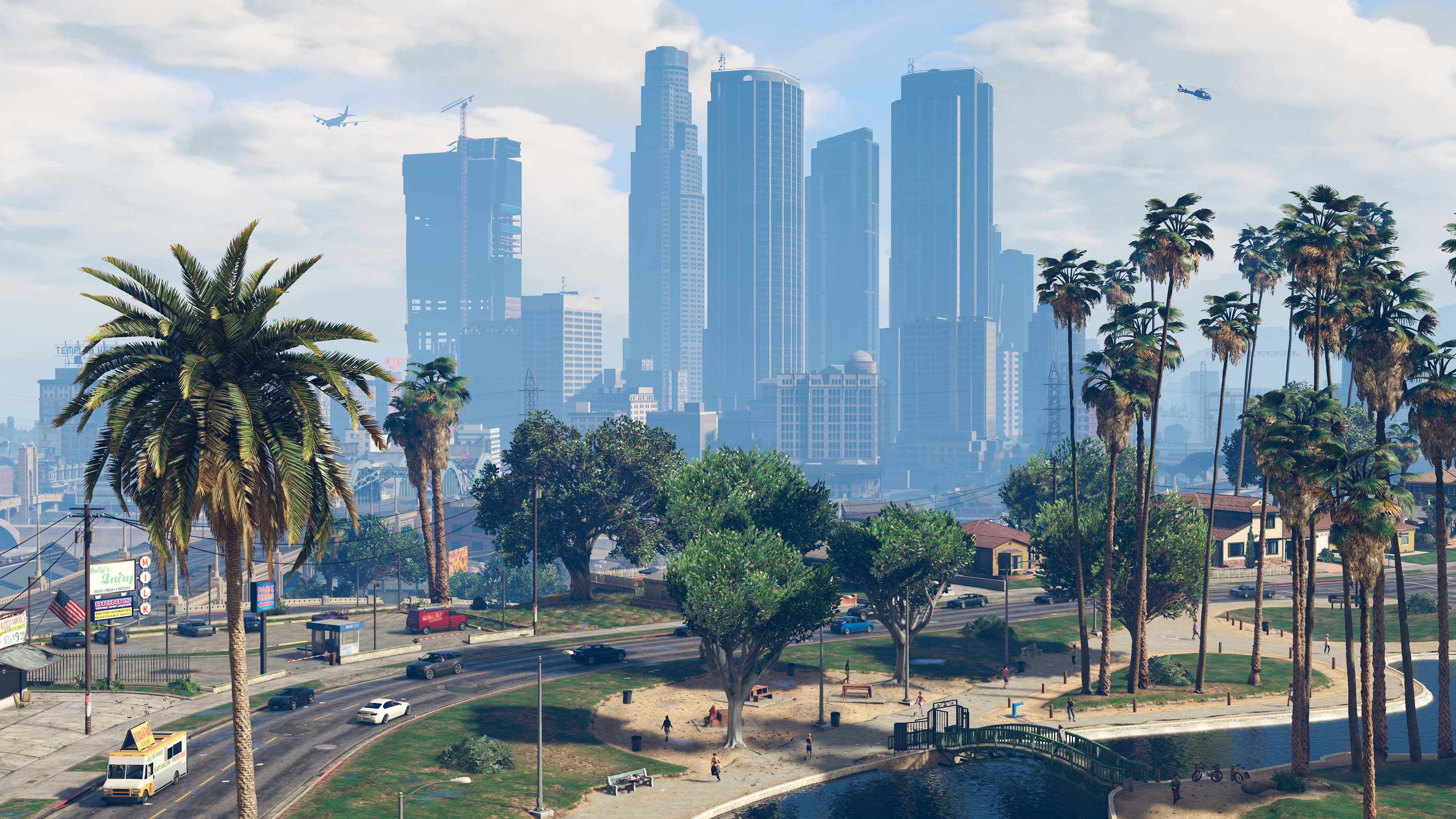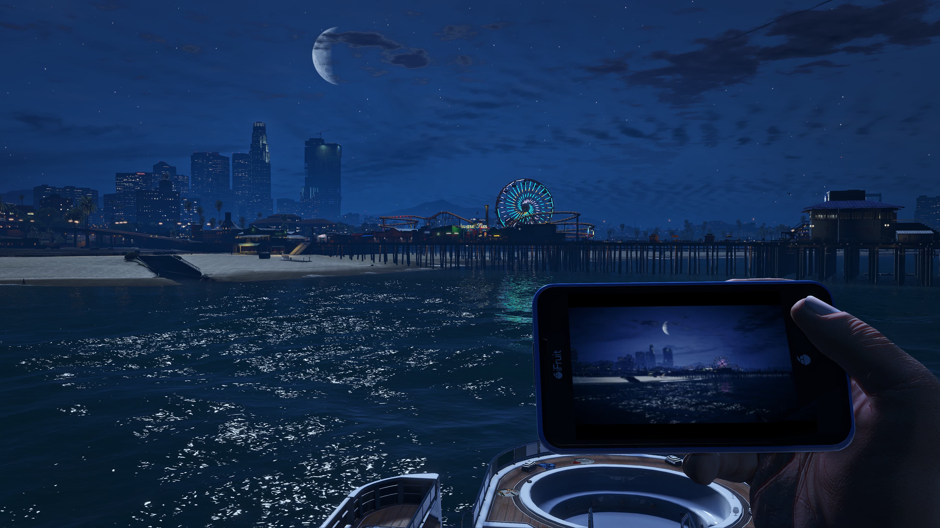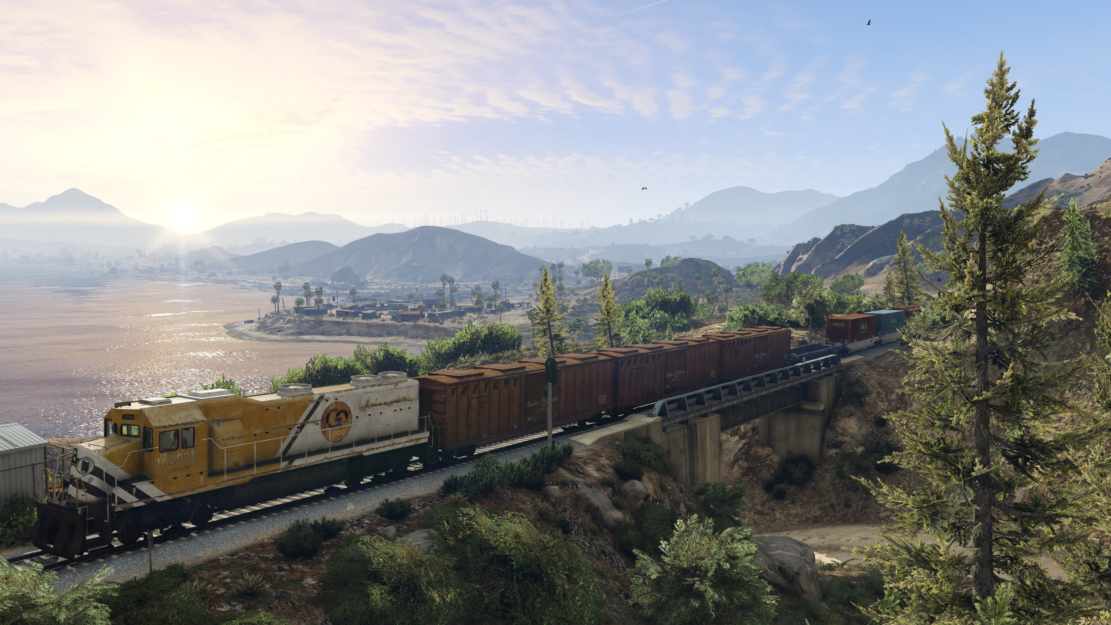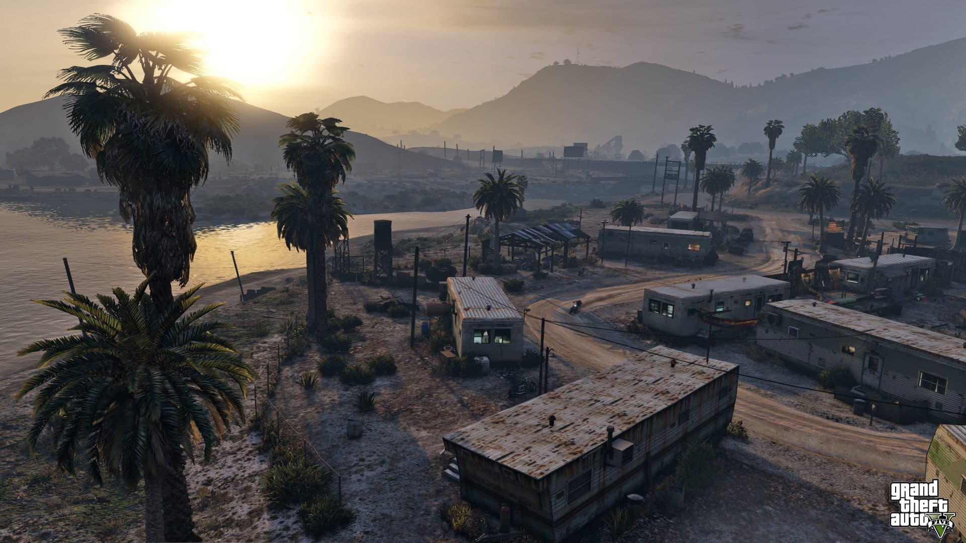
State of San Andreas is a state on the western coast of the USA, the southern part of which is featured in GTA V and GTA Online. It has two counties: the urban Los Santos County and the rural Blaine County. The landscape ranges from the beaches of the Pacific Ocean and grassy plains to deserts, mountain ranges and coniferous forests. The climate is warm and sunny, with mild winters.
Snow is rare here, but in GTA Online it covers the area for a few days during the holiday season.
The state is based on California.
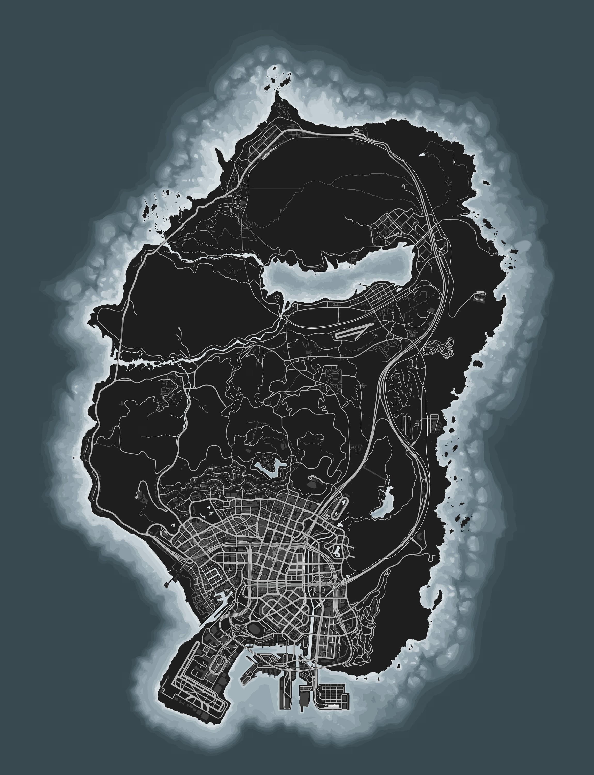
At the far south of San Andreas lies the metropolis of Los Santos. The Vinewood Hills separate it from the rest of the state; beyond them, to the north, stretches a wide basin with the Grand Senora Desert, which borders the salt lake of the Alamo Sea. The town of Sandy Shores stands on the lake's southern shore, and Grapeseed on its northeastern one.
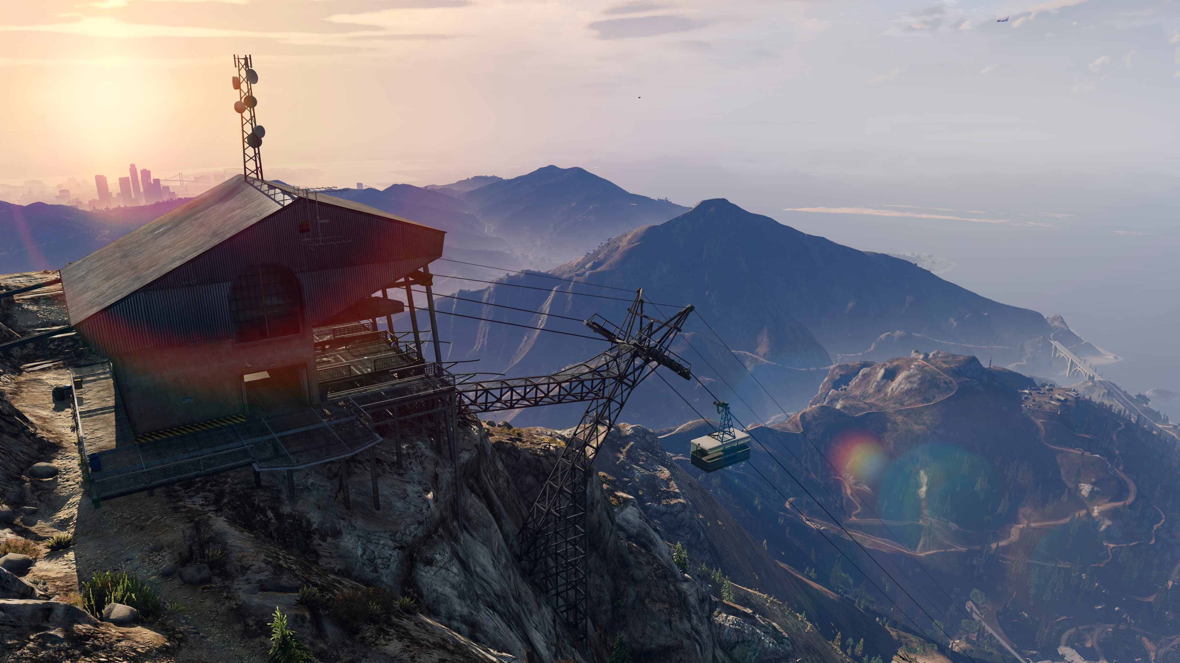
The basin is closed off by Mount Chiliad, the highest point in the state. At its northwestern foot, on the ocean shore, are the town of Paleto Bay and the coniferous Paleto Forest. Mount Gordo rises east of Chiliad, and the Braddock Pass runs between them.
Mount Josiah rises southwest of Chiliad, and the military base Fort Zancudo sits at its southern foot. Natural beaches line the western coast from Los Santos to Paleto Bay, with the coastal town of Chumash between them.
The Tataviam Mountains stretch east of Los Santos, and beyond them rises the San Chianski Mountain Range. The eastern coast is high and cliffy, and on a small island at the foot of Mount Gordo stands the El Gordo Lighthouse.
The economy of Los Santos rests above all on the film industry of Vinewood, which made the city famous around the world. The port, one of the busiest in the country, and tourism play a no less important role: visitors come for the beaches of Vespucci, Del Perro Pier, the Vinewood Sign, the Kortz Center and the Galileo Observatory, which offers a panorama of Los Santos.
The money of major companies headquartered in its skyscrapers flows through Downtown Los Santos, the city's financial hub. Outside the city, in the Tongva Hills, vineyards spread across the slopes.
Agriculture dominates Blaine County, and Grapeseed is the state's main agricultural district: grain and other crops are grown in the local fields, and cows and pigs are kept on the farms.
Besides farming, Blaine County has other industry: a large poultry plant operates in Paleto Bay, a sawmill stands in Paleto Forest, and Harmony has a cement plant. The San Chianski Mountain Range holds a quarry and a chemical research complex that the public believes to be a perfume factory.
Energy comes from a wind farm and a power station in the same mountains.
In addition, oil fields are located in the Grand Senora Desert and in Murrieta Heights, a district of Los Santos.
A separate part of the economy belongs to the criminal underworld: Los Santos is considered one of the main drug-trafficking hubs in the USA. It rests on the trade in crack, methamphetamine and marijuana, along with illegal arms trafficking and smuggling, all of it run by street gangs and organized crime groups.
The main highways of the state form a ring. The Great Ocean Highway runs from the western part of Los Santos north along the coast and turns into the Senora Freeway. It passes through Braddock Pass and Grapeseed and descends south through the desert to Los Santos. Route 68 crosses the state from west to east: it passes through the town of Harmony, crosses the desert and serves as the border between Los Santos County and Blaine County.
The city and the countryside are linked by a railway, and Los Santos itself has a metro. There is a cable car on Mount Chiliad.
Air service in southern San Andreas is provided by Los Santos International Airport, Sandy Shores Airfield and McKenzie Field in Grapeseed. Cargo ships call at the Port of Los Santos.
The state's nature changes sharply from region to region: from dry desert to coniferous forests, river valleys and swamps.
Yuccas, cacti, sparse grasses and low shrubs grow in the Grand Senora Desert, while Senora National Park has almost no vegetation at all. Packs of coyotes roam here.
Mount Haan is noticeably greener: oaks and pines grow on its southern and western slopes, and cedars on the northern and eastern ones.
Paleto Forest looks quite different: pines and other conifers dominate there, and deer, boars, coyotes and cougars live both in the forest and in the Chiliad Mountain State Wilderness.
Rabbits live throughout the countryside, especially in the Vinewood Hills.
In the west of the state, giant sequoias grow along the banks of Cassidy Creek near the ocean, the swamps of Lago Zancudo spread out at the mouth of the Zancudo, and herds of deer graze among the vineyards of the Tongva Hills.
The waters of the Alamo Sea are polluted and almost lifeless, and dead fish lie along the shores. The ocean, by contrast, is home to dolphins, sharks, killer whales and humpback whales.
Hawks fly over the desert and gulls soar along the coasts, while crows and cormorants can be seen both in Los Santos County and in the rural part of Blaine County.
Three rivers flow through southern San Andreas, and all of them empty into the Pacific Ocean. Two of them, the Zancudo and Cassidy Creek, rise in the Alamo Sea and flow west. Both have rapid upper reaches with small waterfalls. The Zancudo ends in a delta with a swamp near Lago Zancudo, and Cassidy Creek runs through Raton Canyon.
The third river, the Los Santos, begins in the Tataviam Mountains, where the Land Act Dam blocks it. The reservoir behind the dam serves as the primary water supply of Los Santos, and the river itself runs through the whole city in a concrete channel. Unnamed streams also run down the mountain slopes.